Check the parcel, not only the advertised land area
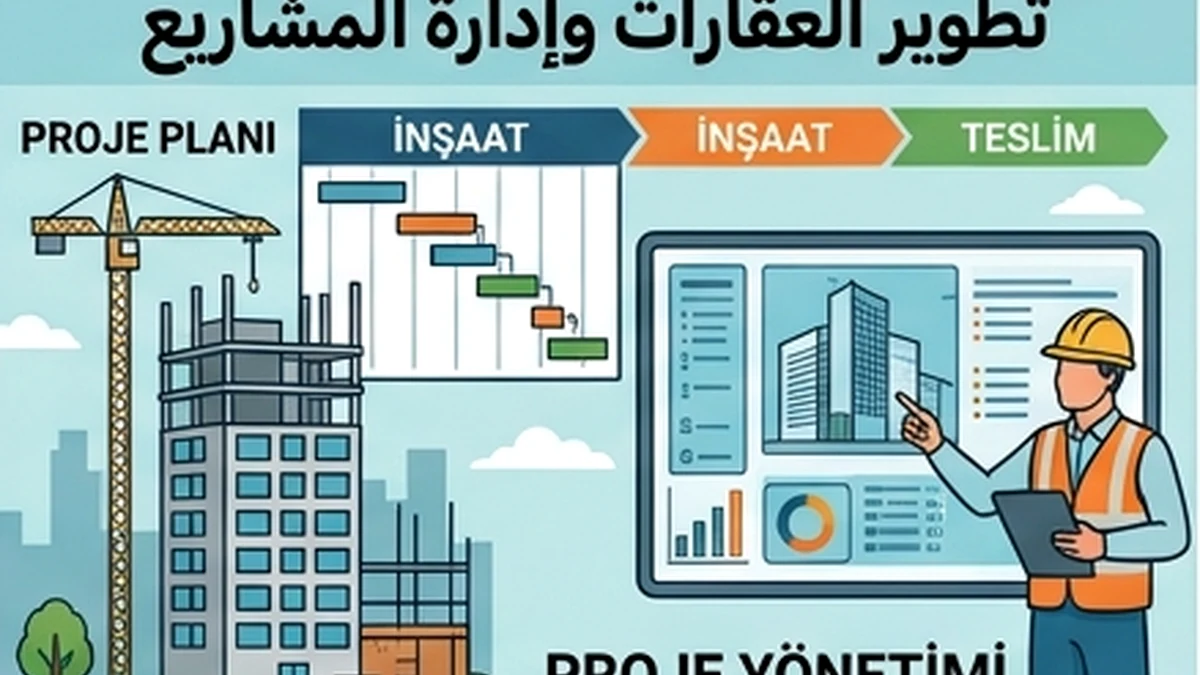
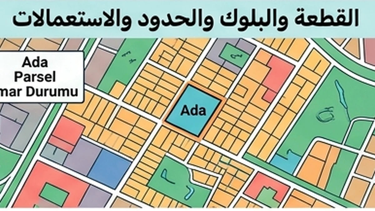
Identify province, district, block, parcel and cadastral boundaries from current records before estimating development potential. Compare access, slope, neighboring rights, zoning designation and permitted use with what was actually inspected. Separate the registered area from a seller's marketing measurement and flag unresolved boundary or road-access questions. A feasibility estimate should state which assumptions are confirmed by an official plan and which still require technical or planning review.
Practical verification checklist
Parcel verification: Reconcile the title record, block and parcel identifiers, cadastral map, physical boundaries and municipal land-use information. Check access rights, easements and subdivision constraints with the relevant offices and an independent surveyor where appropriate. Do not infer buildable area solely from the advertised land size.