
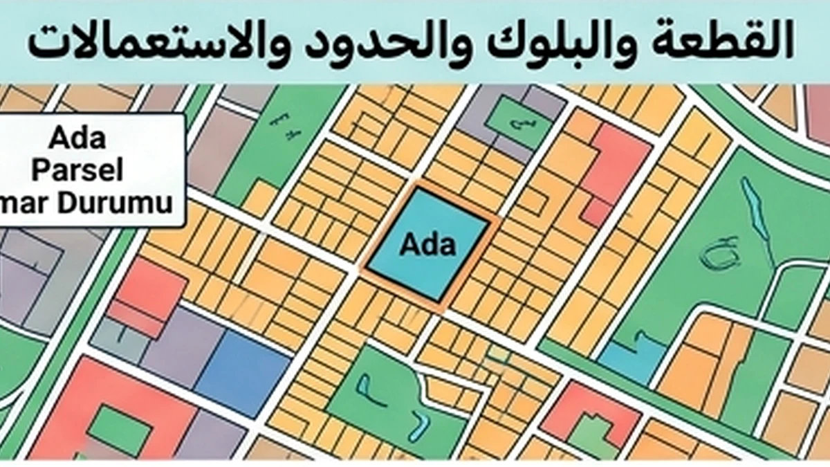
Resale File Preservation — Cadastral boundary
A practical Resale File Preservation workflow for Cadastral boundary, focused on evidence, timing, record reconciliation, exception closure and an auditable decision.
Verified facts relevant to this topic
Purpose of this guide
Resale File Preservation — Cadastral boundary applies an operational verification workflow to Cadastral boundary. The specific objective is to preserve documents, decisions and evidence so a later ownership review is faster and more provable for resale or financing. A fact should not be treated as operationally reliable merely because it exists; it must be tied to the correct property, party and date and supported by evidence that another reviewer can audit later.
When to use this review
- Before signing a contract or amendment that changes rights or obligations.
- Before sending money or changing a beneficiary or account.
- When a new version of a previously relied-on document arrives.
- When there is a new document or a change in right, obligation or cost.
- When the database and a primary document or official source disagree.
- Before final closing when the information can change over time.
Retrievable documentation
Financial and operational impact
Verified facts from official sources
Cadastral boundary verification
Preserve documents so a future buyer, lender or auditor can review the file without reconstructing it from scratch.
Practical FAQ built from the record’s verified facts
What official fact about cadastral boundary should a buyer verify before a non-refundable commitment?
Do not rely only on fences, current occupation or an online map. Tie the boundary to the correct ada/parsel and cadastral record, and obtain an official aplikasyon or survey when there is doubt or conflict. Preserve documents so a future buyer, lender or auditor can review the file without reconstructing it from scratch.
Which document fields or legal details on cadastral boundary matter most before a non-refundable commitment?
Preserve documents so a future buyer, lender or auditor can review the file without reconstructing it from scratch. Do not rely only on fences, current occupation or an online map. Tie the boundary to the correct ada/parsel and cadastral record, and obtain an official aplikasyon or survey when there is doubt or conflict. TKGM guidance explains that aplikasyon re-establishes parcel corners and boundaries on the ground from cadastral data, while public map-query information is not by itself a final transaction document.
What can go wrong with cadastral boundary before a non-refundable commitment, and what evidence resolves it?
TKGM guidance explains that aplikasyon re-establishes parcel corners and boundaries on the ground from cadastral data, while public map-query information is not by itself a final transaction document. Preserve documents so a future buyer, lender or auditor can review the file without reconstructing it from scratch.
Sources for this section were reviewed on 16 August 2026.
Preserving boundary evidence for resale
Keep maps, measurements and corrections that established the boundary at acquisition; the chain lets a later buyer understand changes in shape or area rather than relying only on visible occupation.