
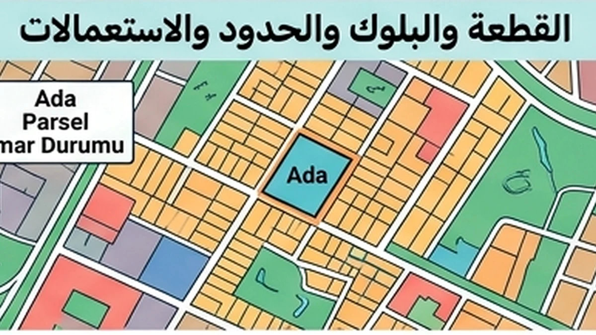
Verifying a cadastral boundary before purchase
A cadastral boundary is the registered legal boundary of a parcel; it is not automatically the fence, wall, hedge or line of occupation visible on the ground. A buyer should therefore begin with the parcel identity: province, district, neighbourhood, block, parcel and registered area. These identifiers should be reconciled with the title information and any technical documents before interpreting a map. TKGM Parsel Sorgu is useful for locating the parcel and viewing basic cadastral information, but it is not a field survey and the line displayed on a screen should not be treated as proof that a wall or structure lies legally inside the parcel.
When an online map is not enough
An online cadastral map is useful for an initial check: is this the correct parcel, does the general location match the property offered for sale, and do the identifiers and area appear consistent? The evidential requirement changes when a few metres or centimetres affect ownership, access, the position of a building or an easement. TKGM describes aplikasyon as the marking on the ground of property or easement boundaries according to the information and documents in the title plan. TKGM also states that where operating licensed cadastral engineering offices, LİHKAB, have jurisdiction, aplikasyon applications are to be made through those offices under Law No. 5368.
This distinction is important. A commercial map pin or satellite image can help a buyer reach the site, but it cannot resolve a boundary dispute. Even an official online parcel display has a different function from an aplikasyon or other qualified technical record used to establish the boundary on the ground.
Practical review sequence
First, match the block, parcel and registered area in the title information to the official cadastral source. Second, review the parcel geometry, neighbouring parcels and registered roads. Third, compare the documentary picture with the physical occupation: fences, walls, entrances, tracks, buildings and any use by a neighbour. Fourth, if there is a material discrepancy that cannot be explained by map display tolerance or a documented cadastral update, obtain an aplikasyon or clarification from the competent cadastral authority or LİHKAB as appropriate. Fifth, connect the result to related issues such as right of way, easements, planning setbacks, encroachment or the amount of land that the buyer can actually use.
TKGM guidance also explains that cadastral updating or digitisation can lead to changes in registered area because of survey methods, technical corrections or the nature of the updating work. A difference in area does not therefore prove encroachment by itself. It does, however, require an explanation before the buyer uses the advertised area for valuation, development calculations or contract negotiations.
Red flags
- A seller treats the existing fence as the legal boundary without supporting cadastral evidence.
- The block or parcel differs between the title record, map and contract.
- The advertised area differs from the registered area and nobody can explain the basis.
- Access depends on a track crossing another parcel without a documented right.
- A building, balcony, extension or wall appears close to or across the boundary and the seller resists a survey.
- Recent cadastral updating or digitisation is known, but only old documents are supplied.
Buyer decision and closing-day record
For an ordinary apartment transaction where parcel boundaries do not materially affect the acquired independent unit, a basic cadastral check may be sufficient. For land development, small parcels, narrow access, neighbouring disputes or structures close to the line, a qualified measurement before purchase is often materially more valuable than attempting to resolve the issue after title transfer. Keep the controlling title information, a dated Parsel Sorgu result, any aplikasyon sketch or technical document, and site photographs explaining why the issue was opened. The final record should state whether a discrepancy existed, how it was resolved and whether it changes usable area, access, development potential, price or the decision to proceed.