
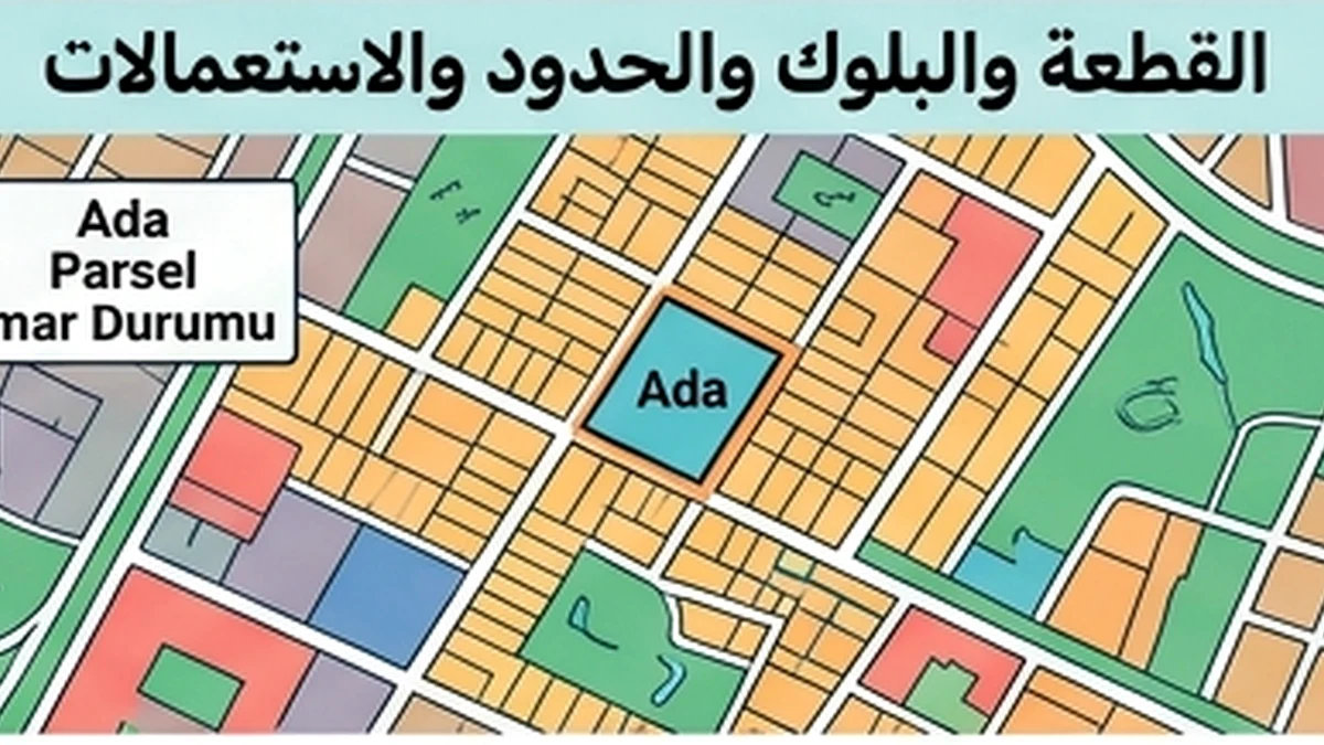
Cadastral boundary Workflow Guide
This article has one purpose: resolve the question raised by “Cadastral boundary Workflow Guide” for the topic Cadastral boundary. Start with ada/parsel and registered area, and tie both to the exact property, party and transaction date.
Starting point
This article has one purpose: resolve the question raised by “Cadastral boundary Workflow Guide” for the topic Cadastral boundary. Start with ada/parsel and registered area, and tie both to the exact property, party and transaction date.
Workflow steps
The evidence file should cover ada/parsel, registered area, legal boundary, aplikasyon and encroachment. A document can be genuine yet still be unusable if it belongs to a different unit, parcel, year or transaction.
- ada/parsel
- registered area
- legal boundary
- aplikasyon
- encroachment
Conflict branch
For the workflow, test the strongest claim first. If legal boundary conflicts with aplikasyon, preserve both pieces of evidence and identify the reason for the conflict before treating the file as complete.
Completion test
Closing-day repeat
Transaction example
If ada/parsel is confirmed but encroachment or the on-ground boundary cannot be verified, move the workflow to cadastral evidence rather than relying on a map impression. Obtain the appropriate aplikasyon or survey output and reconcile it with title and physical occupation.
Checklist before closure
- ada/parsel
- registered area
- legal boundary
- aplikasyon
- encroachment
Official sources
Individual dossier for Cadastral boundary Workflow Guide
The purpose is to turn a broad real-estate concept into a dated, property-specific conclusion.
Source pull
Test boundary independently before using cadastral as supporting evidence. This prevents a secondary document from validating an incorrect primary assumption.
Finish state
Match test
Resolution step
Before transfer, a confirmed parcel identifier does not by itself resolve a boundary issue. Record whether the unresolved boundary affects access, buildable area, possession, financing, or price, and close that issue before an irreversible payment.
Conflict branch
Build a short contradiction note: what the seller says about cadastral; what the official record shows; what the physical or payment evidence shows; and what must happen if they disagree.
Start state
The review must connect cadastral with boundary using evidence from the same asset and the same decision date. If either belongs to another unit, year, party or version, the apparent match is unreliable.
Practical questions answered from primary sources
How can a buyer verify map versus physical fence in cadastral boundary?
Parcel boundaries are not established by a listing image or phone map. Tie the ada/parsel to cadastral records, review the map and technical data, and obtain a formal boundary application (aplikasyon) when the physical boundary matters to the decision. Start with title identifiers, inspect TKGM parcel data for orientation, obtain the relevant cadastral plan/technical record, and request aplikasyon when the boundary must be located on the ground. For this exact point—“map versus physical fence” within cadastral boundary—use the cited source to establish the governing rule for the same property and current transaction.
Which names, dates or numbers must match for map versus physical fence in cadastral boundary, specifically map versus physical fence?
Start with title identifiers, inspect TKGM parcel data for orientation, obtain the relevant cadastral plan/technical record, and request aplikasyon when the boundary must be located on the ground. The goal is to show the visitor what the evidence proves, what it does not prove, and the next check required before signing or payment. For the document check on “map versus physical fence” within cadastral boundary, match the official identifiers, date, authority and scope to the closing file; a related document for another unit or older version is not enough.
What discrepancy in map versus physical fence should delay signing in cadastral boundary, specifically map versus physical fence?
The goal is to show the visitor what the evidence proves, what it does not prove, and the next check required before signing or payment. For the risk question on “map versus physical fence” within cadastral boundary, treat any unresolved mismatch as a live transaction issue until the competent record or authority shows the required status.
Sources checked: 16 August 2026.
- TKGM — Parsel Sorgu
- TKGM — Talebe Bağlı İşlemler / Aplikasyon FAQ
- TKGM — Teknik Hatalar Düzeltme Genelgesi 2022/7
Auditable workflow
Start with title identifiers, inspect TKGM parcel data for orientation, obtain the relevant cadastral plan/technical record, and request aplikasyon when the boundary must be located on the ground.
Evidence and decision plan for Cadastral boundary Workflow Guide
When reviewing “Cadastral boundary Workflow Guide”, the file should turn the topic into a sequenced due-diligence process with a clear owner, evidence step and completion point. This makes the article useful at the point of commitment because unresolved facts are separated from verified facts instead of being buried in narrative.
Evidence to assemble
- For “Cadastral boundary Workflow Guide”, match the property and party identifiers in the evidence to the asset and people actually involved; a correct document for the wrong unit or person does not close the check.
- For “Cadastral boundary Workflow Guide”, record issuer, source, issue or retrieval date and version where available, then distinguish an original/current record from a scan, translation, draft, expired copy or superseded version.
- For “Cadastral boundary Workflow Guide”, compare documentary status with the physical, payment or operational reality relevant to the topic and write down every unexplained difference before commitment.
- For “Cadastral boundary Workflow Guide”, convert each unresolved difference into a named condition: evidence required, person responsible, deadline and the consequence if the condition is not satisfied.
Official reference to recheck
The source register for “Cadastral boundary Workflow Guide” includes TKGM — Parcel Query (https://parselsorgu.tkgm.gov.tr/). Use that source for the matters within its authority and recheck it when timing or rules are material; it does not replace a registry, engineering, tax, banking or contractual record that the specific decision separately requires.
Decision boundary
A defensible conclusion on “Cadastral boundary Workflow Guide” records both what was verified and the limits of that verification. If a missing fact could change ownership, legality, safety, cost or payment security, it should block the related commitment until resolved.