
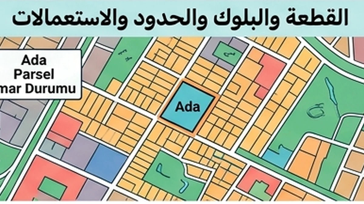
Official facts that control the topic
The first substantive rule for “Source Freshness Review — Cadastral boundary” is this: A cadastral boundary is the registered parcel boundary in the cadastral system and should not be inferred with legal precision from a fence, road or satellite image alone.
Applied specifically through the “Source Freshness Review” lens to Cadastral boundary, the official position is more precise: Parsel Sorgu is useful for visual location, but its terms make it an informational service; precise on-the-ground boundary establishment can require official cadastral/survey data or services. A mismatch between occupation/fencing and the cadastral line should be understood before buying land or calculating developable area because it can affect access, use and encroachment issues.
What this review changes
Source freshness for Cadastral boundary is not satisfied merely because a website is official; the particular information must still apply to the period and facts on which the decision will rely. An old rule may be historically accurate yet unusable today.
Check the publication or verification date, then refresh these items for the current property and period: block/parcel, cadastral sketch/map, official coordinates/points where available, registered area, any field application/survey and adjoining boundaries. If a figure, tariff or deadline changes by year, use the correct year’s version.
Documents and data that must reconcile
For “Source Freshness Review”, the key evidence is: block/parcel, cadastral sketch/map, official coordinates/points where available, registered area, any field application/survey and adjoining boundaries
Scope boundary
Because this record is limited to “Source Freshness Review”, its boundary matters: A cadastral boundary alone does not determine a right of way, zoning use or current ownership.
Record-specific applied review
A source-freshness review for a cadastral boundary must distinguish a viewing tool from survey-grade evidence. Parsel Sorgu and MEGSİS are useful for locating a parcel, confirming identifiers and reviewing its general geometry, but a legally precise boundary should not be inferred solely from a web-map overlay or satellite image. The file should therefore record the query date and source and then determine whether the decision being made requires more precise official cadastral data or a formal survey service.
TKGM published Circular 2025/4 on the preparation and control of maps and plans subject to registration, making it a relevant current reference where cadastral survey and registration work is concerned. If an older technical file or set of boundary points is available, the reviewer should establish whether later official work or registry updates superseded or corrected it. Province, district, neighbourhood/village, block and parcel identifiers should all be reconciled so that a similarly numbered parcel elsewhere is not mistaken for the target land.
Where a fence, road or physical occupation does not match the line displayed by an informational source, the difference is a verification trigger rather than proof that the cadastral record is wrong. A professional freshness conclusion states the precision level of the source, its last-check date, parcel identity and any need for official measurement before calculating developable area or making a purchase decision that depends on the exact location of the boundary.
Official source
Freshness review for cadastral-boundary data
A boundary shown on an online map is useful for preliminary checking, but it is not a substitute for cadastral evidence appropriate to a dispute or a task requiring survey-level precision. Begin by identifying the map source, retrieval date and whether the displayed data correspond to the latest cadastral information available. Recent survey work, subdivision or consolidation increases the need for newer and more authoritative evidence.
Check consistency among parcel geometry, area, identifiers and visible location. A difference between a line on a screen and a fence on the ground should not automatically be resolved in favour of either one; display precision, map offset or a genuine boundary issue may require specialist surveying. Public parcel-query services are valuable information tools, but their display should not be treated as proving more than the source and applicable terms support.
Preserve the query date, source reference and every discrepancy between map, documents and physical observations. If a decision depends on a precise boundary for construction, access or usable area, escalate to the appropriate cadastral document or technical procedure before commitment. Freshness in this context means knowing which data were current at the decision date and recognising when a public map view is not sufficient for the required level of certainty.