
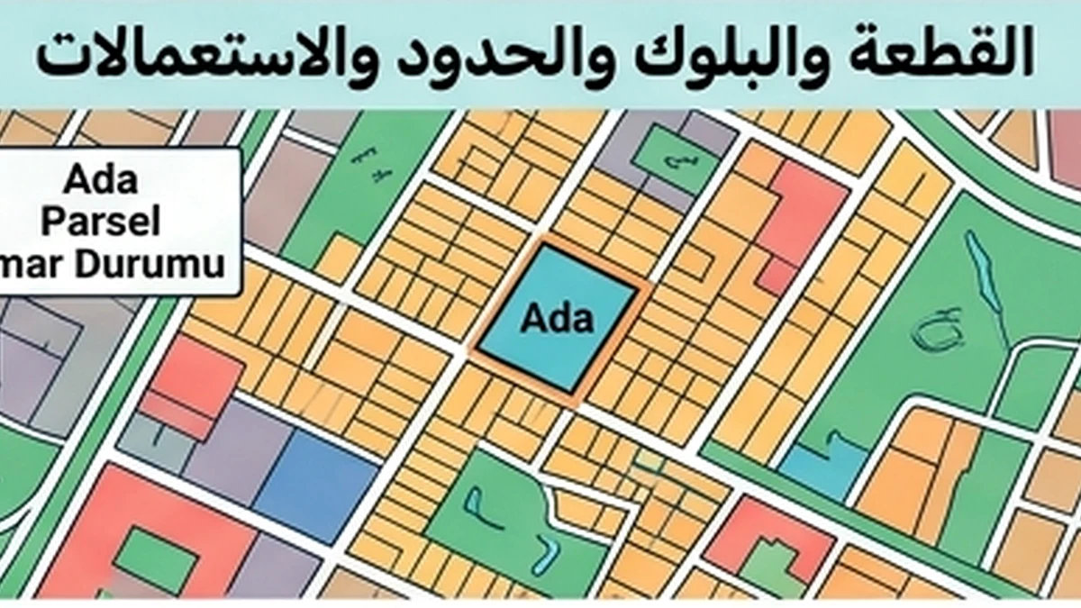
Official facts that control the topic
The first substantive rule for “Deadline Readiness Review — Cadastral boundary” is this: A cadastral boundary is the registered parcel boundary in the cadastral system and should not be inferred with legal precision from a fence, road or satellite image alone.
Applied specifically through the “Deadline Readiness Review” lens to Cadastral boundary, the official position is more precise: Parsel Sorgu is useful for visual location, but its terms make it an informational service; precise on-the-ground boundary establishment can require official cadastral/survey data or services. A mismatch between occupation/fencing and the cadastral line should be understood before buying land or calculating developable area because it can affect access, use and encroachment issues.
What this review changes
Deadline readiness means Cadastral boundary can actually be completed within the available time without depending on a document that will arrive after the decision point. Legal deadlines must be separated from practical lead time for obtaining and correcting documents.
Turn these items into a dated readiness list: block/parcel, cadastral sketch/map, official coordinates/points where available, registered area, any field application/survey and adjoining boundaries. Classify each as available, needs refresh, pending a third party, or impossible to complete before the deadline.
Documents and data that must reconcile
For “Deadline Readiness Review”, the key evidence is: block/parcel, cadastral sketch/map, official coordinates/points where available, registered area, any field application/survey and adjoining boundaries
Scope boundary
Because this record is limited to “Deadline Readiness Review”, its boundary matters: A cadastral boundary alone does not determine a right of way, zoning use or current ownership.
Record-specific applied review
Deadline readiness for a cadastral boundary begins by defining the precision needed before the decision date and planning the evidence accordingly. If the purpose is simply to confirm parcel identity, current official cadastral references may be sufficient. If price, design feasibility or buildable area depends on the boundary’s exact ground position, the schedule should allow for an appropriate cadastral or survey service before the deadline rather than discovering that requirement at closing.
The readiness plan fixes province, district, neighbourhood/village, block and parcel identifiers first, obtains the freshest available data and reconciles them with title and technical records. If a fence or physical occupation differs from the displayed cadastral line, the issue should not be left to the signing day. The responsible authority or survey professional, the required measurement or document, and the time needed to close the gap should be identified. Current TKGM survey framework, including Circular 2025/4, is relevant context for this planning.
Before the deadline, the decision file should state the last verification date, source, precision level and any assumption that remains unresolved. If the required official evidence has not arrived at the necessary level of accuracy, an informational web map should not be converted into artificial certainty. The consequence should be recorded—for example, deferring a developable-area calculation or making closing conditional on the boundary verification result.
Official source
Deadline readiness for a cadastral-boundary question
Where the transaction is sensitive to boundary location, decide the required level of certainty before the deadline approaches. Buying an apartment within a building may call for a different boundary review from buying land where construction will sit near the line or value depends on frontage and access. Classify the need early: is a preliminary map check enough, is an official cadastral document required, or is field-level technical work necessary?
Work backwards from commitment to schedule the parcel query, time to investigate discrepancies and any lead time for specialist work. Compare Ada/Parsel, area, geometry and mapped position with the documents, and record differences with fences or actual use. Do not close a discrepancy merely by saying that “the map is approximate” if financial value, buildability or access depends on metres of land.
Before commitment, every material boundary issue should either be resolved with evidence appropriate to the decision or expressly identified as a known unresolved risk. If the question remains fundamental, the decision should pause rather than assuming a survey can be arranged later. Deadline readiness here means matching the level of evidence to the decision being made, not simply possessing a recent map screenshot.