
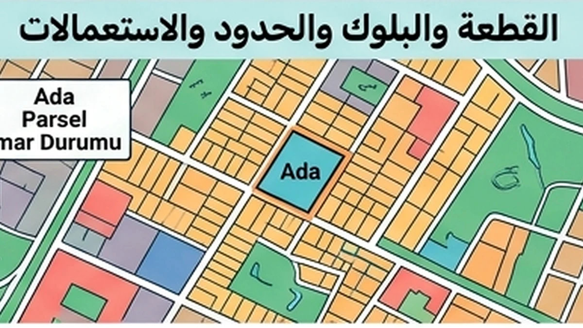
Audit Trail Reconstruction — Cadastral Boundary
A parcel boundary is not safely reconstructed by drawing a line over a satellite image or by copying what appears on an online map. The audit trail must show how the cadastral boundary used in a transaction was derived, whether it was only viewed digitally or physically set out through an authorized technical process, what measurements or coordinates were relied upon, and whether later cadastral work corrected or replaced earlier information. This matters when fences, buildings, access roads, retaining walls, gardens or neighboring use appear close to the legal boundary.
1. Fix the parcel identity and source chain
Begin with province, district, neighbourhood, cadastral block and parcel number and preserve the date of each lookup. TKGM Parcel Query is useful for identifying and locating the parcel, but its public map presentation should not be treated as a substitute for a technical boundary application. Record the title/cadastral references, the map or plan sheet used, and any predecessor parcel numbers created by subdivision, consolidation or cadastral update.
2. Distinguish viewing from aplikasyon
A key control is to separate a digital parcel view, a “yer gösterme” service and an “aplikasyon” operation. TKGM’s current guidance states that cadastral technical services such as aplikasyon may fall within the responsibility of licensed surveying and cadastral engineering offices (LİHKAB) in their authorized areas. Aplikasyon is the technical process used to transfer the registered parcel boundary to the ground under the applicable cadastral rules. If a transaction requires certainty about where the ownership boundary lies physically, an approximate public map is not enough.
3. Reconstruct every prior boundary operation
Search the file for earlier aplikasyon sketches, coordinates, survey measurements, parcel maps, subdivision/consolidation documents, road dedication or other cadastral operations. Record the date, service provider or cadastral unit, document number and parcel identity used at that time. TKGM guidance on demand-based cadastral operations indicates that earlier aplikasyon work should be checked and, where no error is found, consistent values may be reused; if an error is identified, new calculated values can become relevant. This is exactly why old sketches should be preserved rather than overwritten.
4. Preserve the technical content of the aplikasyon sketch
An aplikasyon sketch can contain parcel corner points and coordinates, control measurements, reference measurements, registered or unregistered structures, calculated versus registered area information and any detected encroachment/use. The audit trail should preserve the actual sketch and not only a narrative summary. If the source notes that measurements were derived from a map because original measurement values were unavailable, retain that limitation because it affects how later reviewers interpret precision and confidence.
5. Build a discrepancy log
For each suspected boundary issue, record the physical feature involved, the source showing the registered boundary, the measured or observed difference, the date, and the person or office responsible for resolving it. Do not label a fence or wall “the boundary” unless competent evidence supports it. A long-standing garden occupation or neighbour practice does not automatically establish the cadastral line. Likewise, a difference between the title area and a newly calculated technical area requires professional interpretation under cadastral rules, not an arithmetic correction made inside the sales file.
6. Link boundary history to transaction risk
A boundary discrepancy can affect buildable layout, setback calculations, access, parking, planned landscaping, future subdivision, valuation and resale. Encroachment by a building or wall can create a dispute that must be assessed separately. If the buyer is purchasing land for development, the transaction should not price the usable site purely from an online polygon. Where the boundary materially affects value or intended construction, obtain an appropriate aplikasyon or cadastral technical service before an irreversible commitment.
7. Maintain version control after corrections
If a later technical operation corrects coordinates, identifies an earlier error or updates the cadastral map, keep the prior version marked as superseded and document the reason for the change. Note which contracts, valuations, plans or architectural studies relied on the old boundary and reopen them if necessary. The objective is to avoid a corrected cadastral record being applied only to the map while old commercial assumptions remain unchanged elsewhere.
8. Recheck before closing when boundary is material
Before a non-refundable land purchase, development agreement or closing, confirm that the parcel identity has not changed and that the most recent competent boundary work is the one being relied upon. If the file contains competing sketches or unexplained coordinate differences, do not close the issue with a sales statement. Obtain technical clarification and record the resolution source and date.
9. Closing standard
A complete audit trail contains current parcel identity, predecessor mapping, dated public queries, cadastral map/plan references, every material aplikasyon or survey document, coordinates or measurements where applicable, the responsible cadastral/LİHKAB source, a discrepancy log, corrections and superseded versions, and the impact on valuation, design, access or contract conditions. Another reviewer should be able to understand not only where the boundary is believed to lie today, but exactly how that conclusion was reached and what changed over time.
Official sources
- TKGM Parcel Query.
- TKGM FAQ on demand-based cadastral operations and aplikasyon.
- TKGM 2023/5 circular on performance and control of demand-based operations.
- TKGM 25 February 2026 guidance concerning licensed offices and aplikasyon processes.