
Cadastral boundary Red Flags Guide
Why this issue fails deals
High-risk inconsistencies
How to test the red flags
Stop conditions
Evidence to retain
Transaction example
Evidence that clears the flag
False-positive screen
Trigger catalogue
Payment freeze
Residual concern
Escalation path
Practical questions answered from primary sources
How do you compare two documents that disagree on coordinate / map update in cadastral boundary, specifically coordinate / map update?
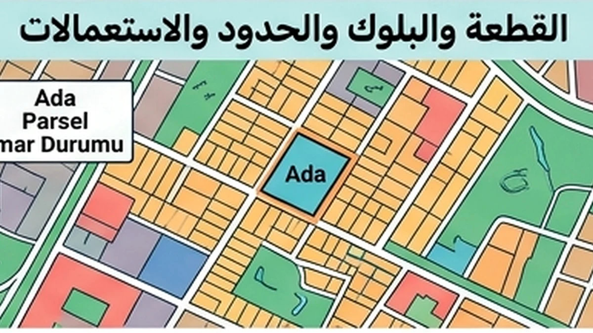
Parcel boundaries are not established by a listing image or phone map. Tie the ada/parsel to cadastral records, review the map and technical data, and obtain a formal boundary application (aplikasyon) when the physical boundary matters to the decision. Use Parsel Sorgu for orientation only and rely on TKGM cadastral records/aplikasyon for official boundary work; the public query itself states that its output is informational.
Which document version should control the transaction in cadastral boundary, specifically coordinate / map update?
Use Parsel Sorgu for orientation only and rely on TKGM cadastral records/aplikasyon for official boundary work; the public query itself states that its output is informational. The goal is to show the visitor what the evidence proves, what it does not prove, and the next check required before signing or payment.
Why does the date of the record matter for coordinate / map update in cadastral boundary, specifically coordinate / map update?
Official-source revalidation
Use Parsel Sorgu for orientation only and rely on TKGM cadastral records/aplikasyon for official boundary work; the public query itself states that its output is informational.
When the boundary needs cadastral field evidence
TKGM Parcel Query is useful for linking ada/parsel to a location and record, but an on-screen map is not a binding field demarcation. When the boundary affects access, an easement, a fence or the area actually used, obtain the appropriate cadastral service such as aplikasyon or sınır gösterimi from the competent cadastral/LİHKAB channel for the case.
Red flags include registered area that conflicts with technical documents, coordinates or sketches from an outdated version, a physical fence that does not reconcile with cadastral evidence, or an encroachment claim unsupported by competent measurement. The conflict is not cured by editing the listing; establish the current technical reference and then quantify the effect on ownership, price and use before closing.
Cadastral boundary red flags before buyer commitment
A red flag exists when the ada/parsel in the title does not match the seller’s supporting document, or when a fence, structure or road on the ground appears inconsistent with available cadastral material. TKGM Parsel Sorgu is valuable for locating a parcel and viewing information, but it is not a substitute for cadastral/aplikasyon evidence when the physical legal boundary itself drives the purchase decision. If usable area, access or a proposed development depends on a particular boundary line, obtain competent verification before an irreversible payment.
refusal to provide document reference. Planning, land-use, parcel-boundary and unit data should be checked with the competent municipality and TKGM/Parcel Query according to the issue.
mismatched names or numbers. A mismatch between physical reality, permit, registry or appurtenances needs documented resolution before purchase; usable space is not automatically legally registered space.
unexplained payment pressure. The Ministry of Environment states that building permits and occupancy permits are primarily issued by the competent municipality or administration; a seller statement is not a substitute for the official document.
Verified information for Cadastral boundary
TKGM — Parsel Sorgu TKGM — Talebe Bağlı İşlemler / Aplikasyon FAQ TKGM — Teknik Hatalar Düzeltme Genelgesi 2022/7 Official-source revalidation Use Parsel Sorgu for orientation only and rely on TKGM cadastral records/aplikasyon for official boundary work; the public query itself states that its output is informational.