
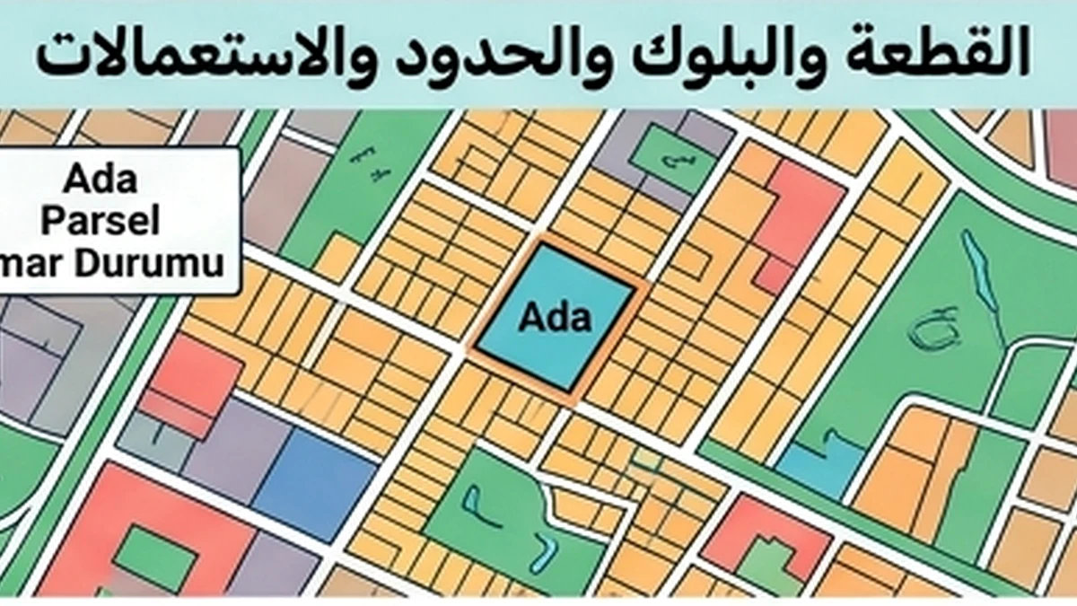
Document Version Reconciliation — Cadastral boundary
A practical Document Version Reconciliation workflow for Cadastral boundary, focused on evidence, timing, record reconciliation, exception closure and an auditable decision.
Verified facts relevant to this topic
Purpose of this guide
Document Version Reconciliation — Cadastral boundary applies an operational verification workflow to Cadastral boundary. The specific objective is to reconcile successive versions of the same document and surface every change that can affect rights, amounts, dates or parties. A fact should not be treated as operationally reliable merely because it exists; it must be tied to the correct property, party and date and supported by evidence that another reviewer can audit later.
When to use this review
- Before signing a contract or amendment that changes rights or obligations.
- Before sending money or changing a beneficiary or account.
- When a new version of a previously relied-on document arrives.
- When there is replacement of a draft, addendum or official document with a newer version.
- When the database and a primary document or official source disagree.
- Before final closing when the information can change over time.
Evidence file
- Retain the source or document actually used for the decision.
- Record retrieval/receipt date and reviewer identity.
- Link the version to the correct property, unit and counterparty.
- Preserve prior versions when a document changes.
- Record any difference between the database and primary evidence.
- Do not fill missing fields with undocumented estimates.
Consistency tests
- Does every item refer to the same property and unit?
- Are party identities and legal capacities consistent?
- Is the date suitable for the moment on which the decision relies?
- Are amounts, rights and restrictions consistent across records?
- Does a material fact appear in only one source without explanation?
- Has anything changed since the last review that could alter the decision?
Verified facts from official sources
Cadastral boundary verification
Reconcile all document versions and confirm names, numbers and dates refer to the same property and transaction.
Practical FAQ built from the record’s verified facts
What official fact about cadastral boundary should a buyer verify before resale or exit?
Do not rely only on fences, current occupation or an online map. Tie the boundary to the correct ada/parsel and cadastral record, and obtain an official aplikasyon or survey when there is doubt or conflict. Reconcile all document versions and confirm names, numbers and dates refer to the same property and transaction.
Which document fields or legal details on cadastral boundary matter most before resale or exit?
Reconcile all document versions and confirm names, numbers and dates refer to the same property and transaction. Do not rely only on fences, current occupation or an online map. Tie the boundary to the correct ada/parsel and cadastral record, and obtain an official aplikasyon or survey when there is doubt or conflict. TKGM guidance explains that aplikasyon re-establishes parcel corners and boundaries on the ground from cadastral data, while public map-query information is not by itself a final transaction document.
What can go wrong with cadastral boundary before resale or exit, and what evidence resolves it?
TKGM guidance explains that aplikasyon re-establishes parcel corners and boundaries on the ground from cadastral data, while public map-query information is not by itself a final transaction document. Reconcile all document versions and confirm names, numbers and dates refer to the same property and transaction.
Sources for this section were reviewed on 16 August 2026.
Evidence and decision plan for Document Version Reconciliation — Cadastral boundary
For “Document Version Reconciliation — Cadastral boundary”, the practical objective is to identify the controlling version and reconcile every material change between drafts, scans, translations and signed documents. The review should distinguish what is proved now, what still depends on a missing or stale document, and what difference that gap makes to price, signing, payment, handover or later resale.
Evidence to assemble
- For “Document Version Reconciliation — Cadastral boundary”, match the property and party identifiers in the evidence to the asset and people actually involved; a correct document for the wrong unit or person does not close the check.
- For “Document Version Reconciliation — Cadastral boundary”, record issuer, source, issue or retrieval date and version where available, then distinguish an original/current record from a scan, translation, draft, expired copy or superseded version.
- For “Document Version Reconciliation — Cadastral boundary”, compare documentary status with the physical, payment or operational reality relevant to the topic and write down every unexplained difference before commitment.
- For “Document Version Reconciliation — Cadastral boundary”, convert each unresolved difference into a named condition: evidence required, person responsible, deadline and the consequence if the condition is not satisfied.
Official reference to recheck
The source register for “Document Version Reconciliation — Cadastral boundary” includes TKGM — Parcel Query (https://parselsorgu.tkgm.gov.tr/). Use that source for the matters within its authority and recheck it when timing or rules are material; it does not replace a registry, engineering, tax, banking or contractual record that the specific decision separately requires.
Decision boundary
Close “Document Version Reconciliation — Cadastral boundary” only when the conclusion can be reproduced from evidence by another reviewer. A reasonable outcome may be proceed, proceed subject to a written condition, reprice, obtain specialist advice, or stop; uncertainty should remain visible instead of being converted into a positive statement.
Document-version reconciliation — cadastral boundary
Collect every version used to describe the boundary: deed data, cadastral map, application sketch, private survey, project plan and any TKGM digital output. Put them in chronological order and do not assume the most recently emailed file is the newest legal version. Compare block, parcel, area, issue date and any transaction or correction reference.
Where area or geometry changes between versions, preserve the old version and document the reason, issuing body and whether the change entered the official register. A private survey or redrawn marketing plan may be useful supporting evidence, but it must not silently replace the registered cadastral boundary.