
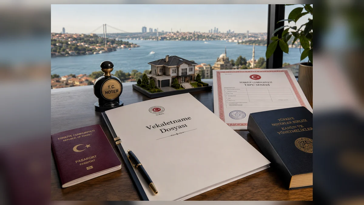
Closing-Day Check for Cadastral boundary
This edition of “Closing-Day Check for Cadastral boundary” was rebuilt to remove boilerplate and turn the page into a practical decision reference. External facts below are tied to primary/official sources; any conclusion about a specific unit still requires unit-specific evidence.
Verified facts relevant to this topic
Required work
- identity of attendees and agents
- final contract version
- same-day registry status
- final beneficiary account
- amount, currency and fees
- keys, handover and condition record
Topic-specific review matrix
The conclusion for “Closing-Day Check for Cadastral boundary” should end in one of three states: verified/actionable, actionable subject to written dated conditions, or stop until the conflict is resolved. A page quality score is not a substitute for the transaction decision.
Official sources
- Ministry of Environment — Zoning FAQ — 15 August 2026
- TKGM — Parcel Query — 15 August 2026
- TKGM — Tapu ve Kadastro Genel Müdürlüğü — 15 August 2026
Evidence file
Keep the title, parcel identifiers, official cadastral plan or application sketch, measurement/request documents, dated site photos and any technical-correction record.
Practical questions answered from primary sources
What should a foreign buyer know about survey / technical record in cadastral boundary?
Parcel boundaries are not established by a listing image or phone map. Tie the ada/parsel to cadastral records, review the map and technical data, and obtain a formal boundary application (aplikasyon) when the physical boundary matters to the decision. Keep the title, parcel identifiers, official cadastral plan or application sketch, measurement/request documents, dated site photos and any technical-correction record. For this exact point—“survey / technical record” within cadastral boundary—use the cited source to establish the governing rule for the same property and current transaction.
Is a seller or agent statement enough to prove survey / technical record in cadastral boundary, specifically survey / technical record?
Keep the title, parcel identifiers, official cadastral plan or application sketch, measurement/request documents, dated site photos and any technical-correction record. The goal is to show the visitor what the evidence proves, what it does not prove, and the next check required before signing or payment. For the document check on “survey / technical record” within cadastral boundary, match the official identifiers, date, authority and scope to the closing file; a related document for another unit or older version is not enough.
Which primary source should be checked independently in cadastral boundary, specifically survey / technical record?
The goal is to show the visitor what the evidence proves, what it does not prove, and the next check required before signing or payment. For the risk question on “survey / technical record” within cadastral boundary, treat any unresolved mismatch as a live transaction issue until the competent record or authority shows the required status.
Sources checked: 16 August 2026.
- TKGM — Parsel Sorgu
- TKGM — Talebe Bağlı İşlemler / Aplikasyon FAQ
- TKGM — Teknik Hatalar Düzeltme Genelgesi 2022/7
Evidence and decision plan for Closing-Day Check for Cadastral boundary
When reviewing “Closing-Day Check for Cadastral boundary”, the file should recheck the facts that can change at closing and make payment or signature conditional on the latest evidence. This makes the article useful at the point of commitment because unresolved facts are separated from verified facts instead of being buried in narrative.
Evidence to assemble
- For “Closing-Day Check for Cadastral boundary”, match the property and party identifiers in the evidence to the asset and people actually involved; a correct document for the wrong unit or person does not close the check.
- For “Closing-Day Check for Cadastral boundary”, record issuer, source, issue or retrieval date and version where available, then distinguish an original/current record from a scan, translation, draft, expired copy or superseded version.
- For “Closing-Day Check for Cadastral boundary”, compare documentary status with the physical, payment or operational reality relevant to the topic and write down every unexplained difference before commitment.
- For “Closing-Day Check for Cadastral boundary”, convert each unresolved difference into a named condition: evidence required, person responsible, deadline and the consequence if the condition is not satisfied.
Official reference to recheck
The source register for “Closing-Day Check for Cadastral boundary” includes TKGM — Parcel Query (https://parselsorgu.tkgm.gov.tr/). Use that source for the matters within its authority and recheck it when timing or rules are material; it does not replace a registry, engineering, tax, banking or contractual record that the specific decision separately requires.
Decision boundary
A defensible conclusion on “Closing-Day Check for Cadastral boundary” records both what was verified and the limits of that verification. If a missing fact could change ownership, legality, safety, cost or payment security, it should block the related commitment until resolved.