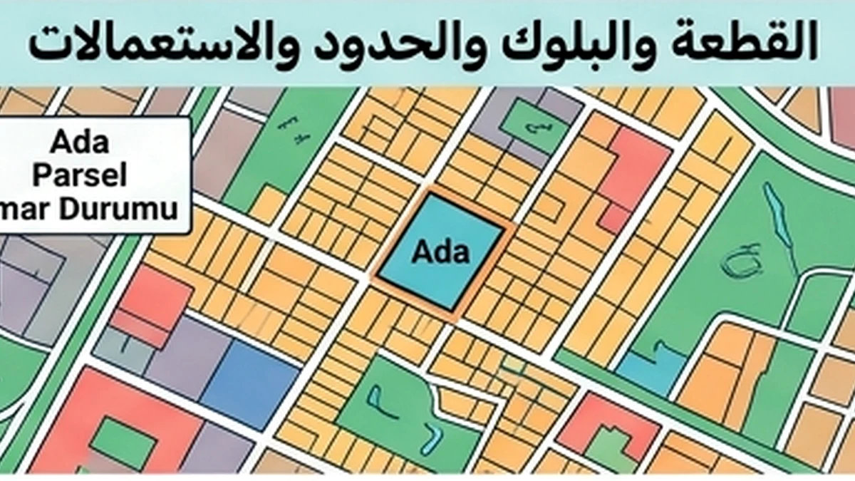
Audit Trail Reconstruction — Parcel and block recordsOfficial facts that control the topic
The first substantive rule for “Audit Trail Reconstruction — Parcel and block records” is this: Ada/Parsel are core parcel identifiers in the Turkish cadastral system and help prevent confusion between neighbouring land or similar postal addresses.
Applied specifically through the “Audit Trail Reconstruction” lens to Parcel and block records, the official position is more precise: TKGM’s Parsel Sorgu service allows map-based viewing and search by province, district, neighbourhood and block/parcel. The public parcel-query display is useful for identification and comparison; ownership, rights and legal encumbrances must still be taken from the authoritative title registry and official records.
What this review changes
Reconstructing the audit trail for Parcel and block records means explaining how the current position was reached, not simply sorting files by upload date. Event date, document-issue date and file-entry date are different things.
To build the timeline, start with these items: province, district, neighbourhood/village, block, parcel, area, parcel/property type and mapped location used to compare with the document. Connect each change to the issuing authority and triggering event, and explain any gap or version without a clear predecessor.
Documents and data that must reconcile
For “Audit Trail Reconstruction”, the key evidence is: province, district, neighbourhood/village, block, parcel, area, parcel/property type and mapped location used to compare with the document
Scope boundary
Because this record is limited to “Audit Trail Reconstruction”, its boundary matters: Parsel Sorgu alone is not proof of owner, encumbrances or share; those are title-registry matters.
Reconstructing how the current parcel record was created
A parcel audit trail should explain the chain from an earlier registered parcel to the present ada/parsel, not merely collect screenshots from different years. Start with the current title and cadastral identifier, then work backwards through registered technical events such as subdivision, merger, parcelation, cadastral correction or map/plan work that affected the identifier or geometry. For each event, record the official reference, approval or registration date, old and new parcel identifiers and the document that proves continuity.
Keep three layers separate. The title layer records ownership and registered rights; the cadastral layer identifies the land geometrically; the planning layer governs land-use decisions. An imar plan change can affect permitted use without creating a new cadastral parcel, while a subdivision can create new parcel identifiers without itself answering what uses are permitted. Mixing these layers creates a false history. TKGM’s MEGSİS/Parcel Query information can help locate current cadastral data, but formal historical reconstruction should rely on the underlying registered or authorised records.
Where an old deed, appraisal or contract cites a former parcel, the audit trail must show exactly which present parcel inherited that identity and whether the old area was divided among several new parcels. Do not infer continuity from proximity on a map. If a correction changes area or boundary, note the legal and technical basis and the date it entered the record. The final chronology should make it possible for another reviewer to move from the oldest material relied upon to today’s official parcel without an unexplained identifier jump.
Official source
TKGM — Parcel Query User Guide
Reconstructing the parcel-and-block chain
Reconstruction places every reference to Ada/Parsel in chronological order: older documents, later parcel-query results, subdivision or consolidation material and any update explaining a change in number, area or geometry. The purpose is not merely to keep the latest identifier. It is to demonstrate that the current parcel is a traceable continuation of the land described in earlier evidence. Every transition should have a source, date and clear relationship to the preceding state.
Review area, geometry and mapped location together with the identifiers. A parcel number can change while the economically relevant location remains the same, or the change can be more substantial and require technical review. If an older map does not align with the current result, look for the cadastral event that explains the difference instead of assuming one image is wrong. Keep this cadastral chain separate from ownership and encumbrances; spatial continuity alone does not prove who owns the right.
The output is a timeline showing the former identifier, the event that changed it, the new identifier and the source for each stage. Mark any unexplained gap and connect the identifiers used in the contract, valuation and permits to the current parcel. An independent reviewer should then be able to understand how the land reached its present recorded form without relying on a similar address or approximate location.
Additional verified official source
Frequently asked questions
Which record should start a parcel-and-block audit trail?
Start with the newest official cadastral or registry evidence that identifies the property by province, district, neighbourhood or village, Ada and Parsel. Then work backward only as far as needed to explain how those identifiers became the current ones.
Why must the administrative location be preserved in the timeline?
TKGM’s parcel-query guide notes that administrative labels shown from title records may differ from today’s administrative units. Keeping the historical province, district and neighbourhood wording prevents a later rename from being mistaken for a different parcel.
What do Ada and Parsel contribute to the audit trail?
They are core cadastral identifiers used to locate the property in the Turkish land system. The trail should show which Ada/Parsel pair applied at each material date and the official event that explains any transition to a new pair.
How should a parcel-number change be documented?
Do not simply overwrite the old number. Keep the earlier identifier, record the date and legal or technical basis of the change, link the old parcel to the new parcel, and preserve the official document or approved plan that makes the relationship traceable.
What must be shown when one parcel is subdivided?
The file should identify the parent parcel, the approved subdivision decision or technical file, the date registration took effect, and every child parcel relevant to the transaction. A child parcel should never be treated as if it had always carried its new number.
How is a consolidation different from a subdivision in the evidence chain?
A consolidation starts from two or more predecessor parcels and ends in a new combined parcel. The trail must preserve each predecessor, the consolidation approval and the registration event so rights or restrictions are not accidentally attributed to the wrong stage.
How should simple renumbering be distinguished from a substantive cadastral change?
Look for the official cause. A numbering or administrative update may leave geometry unchanged, while subdivision, consolidation or boundary correction can change the parcel itself. The audit trail should state which type occurred and cite the controlling record.
What evidence is needed for a cadastral boundary correction inside the history?
Record the competent cadastral decision or technical document, the former and corrected geometry or coordinates where available, the registration date and the reason for correction. A visual shift on an online map alone is not a sufficient audit event.
Why keep historical cadastral maps instead of only the latest image?
Historical maps can explain why a former contract, permit or valuation used an identifier or geometry that no longer appears today. They are evidence of the earlier state, not a substitute for the current official record.
What is the audit value of TKGM Parsel Sorgu?
It is useful for identifying and cross-checking basic parcel information and map position. Its own terms state that the information is for information purposes and is not to be used as an official document, so decisive legal conclusions require the appropriate official record.
Can Parsel Sorgu prove current ownership?
No. The public parcel view is not the ownership register. Ownership, registered rights and encumbrances must be checked through the competent title-registry evidence available to the authorised person or transaction.
Should encumbrances be folded into the parcel-number history?
They should be linked but not conflated. Parcel identity explains which land unit the file concerns; mortgages, easements, annotations and other restrictions are separate registered rights whose own dates and continuity must be traced.
Is zoning history the same as cadastral history?
No. A zoning plan can change permitted use or development conditions without changing cadastral identity, while cadastral operations can change parcel identifiers. The two timelines should be cross-referenced when one affects the other.
Why record the approval date of a cadastral or planning decision?
The approval date helps establish when a document became authoritative for the next step. Without it, a later printout may be mistaken for the date on which the underlying parcel or plan actually changed.
What should be captured when evidence is obtained from a digital portal?
Record the portal, retrieval date, query parameters or identifiers, and the exact output relied on. A screenshot without the queried Ada/Parsel or retrieval context is weak evidence because another reviewer may be unable to reproduce it.
Why does retrieval time matter even when the document has its own date?
The document date shows when it was issued; retrieval time shows when the reviewer confirmed that version. Both are needed when later changes are possible, because an old copy downloaded today is still an old document.
What is the difference between an official copy and a screenshot in the audit file?
An official copy carries the evidentiary form appropriate to the issuing system; a screenshot mainly records what a screen displayed at a moment. The screenshot can support traceability, but it should not be promoted to a stronger legal status than the source gives it.
How should a coordinate mismatch be handled?
First confirm that both coordinate sets refer to the same parcel, coordinate system and version. If the discrepancy remains material, escalate to competent cadastral or surveying evidence rather than adjusting one set manually to make the map look consistent.
How can a neighbouring parcel be mistaken for the subject property?
Similar street access, adjacent boundaries or map labels can lead to selecting the wrong polygon. Cross-check the administrative location, Ada/Parsel, registered area and other identifiers before attaching a map or document to the audit trail.
What if municipal and cadastral files use different identifiers?
Do not force a match by assumption. Record each identifier, identify the issuing authority and date, and obtain the bridge that shows both files concern the same land unit. Planning and permitting records should then be linked to the verified cadastral identity.
What role does an old title deed play in parcel-history reconstruction?
An old deed can show the identifier and right description at an earlier date, but it does not establish the current state. Use it as a historical anchor and connect it to subsequent registration events until the present parcel is reached.
Why is the cadastral change dossier important?
For subdivision, consolidation, boundary correction and similar operations, the technical change file can explain the geometry and identifiers behind the registry transition. It is often the missing bridge between an old map and the current parcel.
How should map revisions be recorded in the audit trail?
Keep the map edition or date, explain what changed, and state whether the revision altered only presentation or the legally relevant geometry. A newer drawing is not automatically evidence that the cadastral right itself changed.
When is a technical survey report needed to resolve the history?
When the dispute concerns on-ground position, coordinates, boundary marks or geometry that cannot be resolved from documentary comparison alone, competent cadastral or licensed surveying evidence may be needed. The audit file should state exactly what technical question was referred.
How should building-permit records be linked to the parcel trail?
Match the block/parcel and approval date shown on the permit to the cadastral identity valid at that time. If the parcel later changed, preserve the bridge so the permit is not wrongly dismissed merely because its old identifier differs from today’s.
Does the independent-unit number belong to the same layer as Ada/Parsel?
No. Ada/Parsel identify the main parcel, while an independent-unit number identifies a condominium unit within the relevant registered structure. The audit trail should connect the two where applicable rather than treating one as a substitute for the other.
What should the reviewer do when a historical link is missing?
Mark the gap explicitly, identify the missing event or document, and state which conclusion depends on it. Do not invent a subdivision date, predecessor parcel or legal cause merely to make the timeline look complete.
How should a long chain with several parcel changes be presented?
Use one chronological table or narrative that records each predecessor, event, date, official evidence and successor. Repeating only the current number at every stage hides the very changes the audit trail is meant to explain.
What if two official records appear to contradict each other?
Check whether they describe different dates, authorities, layers or legal effects before calling them contradictory. If the conflict remains, record both, obtain clarification from the competent authority, and keep the conclusion open until the discrepancy is resolved.
What should be rechecked near closing after the historical trail is built?
Refresh the current Ada/Parsel and other identifiers that the transaction will use, confirm no pending cadastral operation has replaced them, and make sure the contract, valuation, permit references and title application all point to the same current property identity.
What belongs in the retained audit package?
Keep the current and material historical identifiers, official source documents, relevant maps or technical files, retrieval and issue dates, explanation of each change, unresolved gaps, and the final cross-reference showing how the present parcel was reached.
When is the parcel-and-block audit trail complete enough to close?
Close it only when the current parcel can be traced back through every material identifier change with official evidence, contradictions are resolved or clearly bounded, and another reviewer can reproduce the chain without relying on undocumented assumptions.
How should a parcel’s registered area be treated in the reconstruction?
Record the area shown in the official evidence at each relevant stage and do not substitute a map-tool measurement. If area changes after a cadastral operation, connect the before-and-after figures to the technical and registration documents that explain the change.