
TKGM Parsel Sorgu and cadastral maps: an excellent starting tool, not a final boundary survey
TKGM’s Parsel Sorgu is one of the most useful early-stage property tools in Türkiye because it helps a buyer locate a parcel and connect it to identifiers such as province, district, neighbourhood and ada/parsel. It is, however, an information-query tool rather than a substitute for the full legal registry or professional field surveying where exact boundaries are disputed or financially important. Correct use begins by matching title identifiers to the map and then separating what the map can show from what requires further evidence.
Start from title identifiers, not a map pin
Enter province, district, neighbourhood and ada/parsel exactly as they appear in the current property record. Do not rely only on a street address, especially where road names or building numbers have changed. The first objective is to establish that the parcel on screen corresponds to the parcel the seller is offering. For an apartment, parcel identity remains relevant to the building, but it does not by itself establish the independent-unit number inside that building.
Use the map to understand physical context
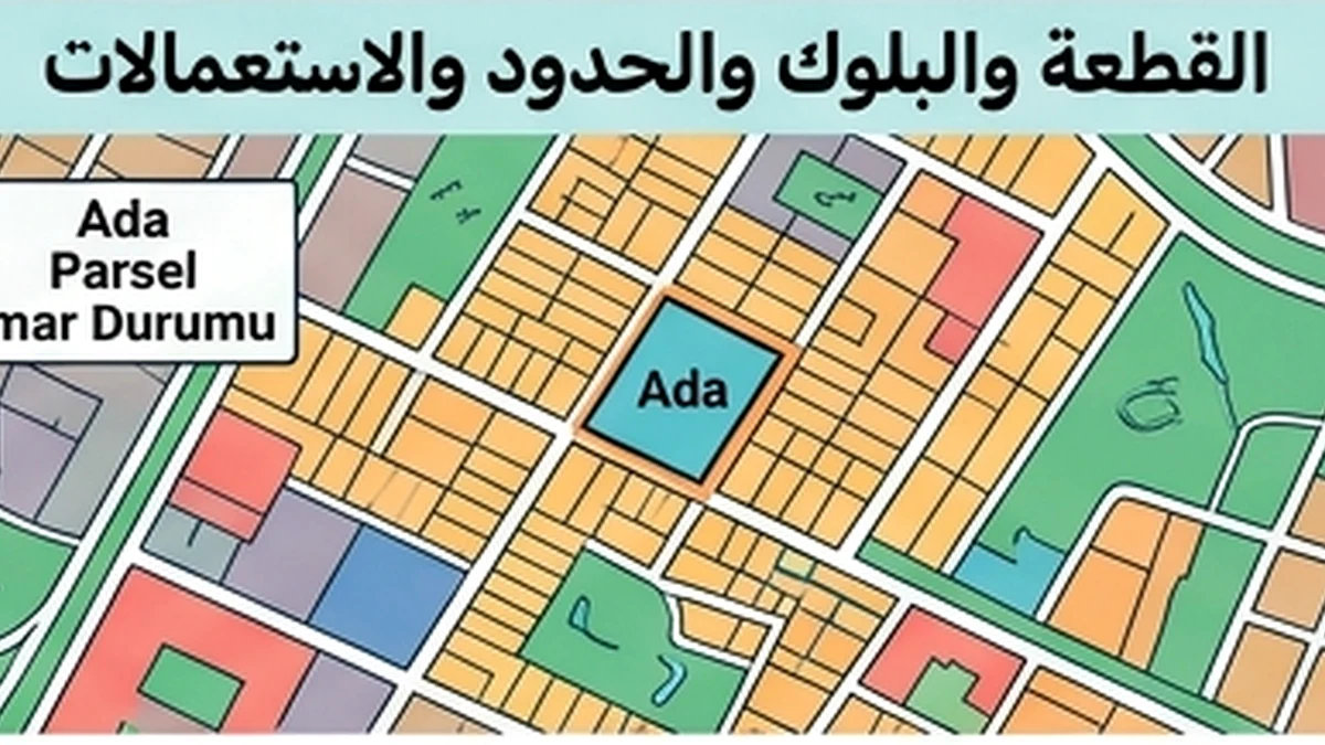
Once the parcel is located, examine its general shape and position relative to roads, neighbouring parcels, visible structures and available aerial imagery. This can reveal basic inconsistencies, such as a listing pointing to land in another location or practical access appearing to cross neighbouring property. It does not prove that an existing fence follows the cadastral boundary to survey accuracy or that every visible track creates a lawful right of access.
Separate registered area from visual shape
Compare the registered parcel area with the available documents. Do not measure an online screenshot and treat a visual discrepancy as definitive evidence of a registration problem. Digital map presentation varies by scale, projection and imagery alignment. If the transaction value depends on exact square metres, or seller documents conflict with the registry, use official measurements and appropriate technical procedures rather than hand-measuring a screen.
Do not treat the displayed line as a construction-grade boundary
Public cadastral-query services are intended to provide parcel information; they do not replace a field boundary application where the line must be established physically. If a buyer plans a wall, building, agricultural use or other work close to a neighbour, or an encroachment dispute exists, professional cadastral/surveying work may be required. Enlarging the online map is not an acceptable substitute for setting a boundary on the ground.
Check lawful road access
A parcel appearing beside a road does not automatically prove that it has a legally usable entrance from that road. Examine the actual parcel edge and any registered easement or right of way if access depends on another property. For land and villas, access rights can materially affect value. A planned but unbuilt road, or a physical track that lacks legal access rights, should be distinguished from a registered and usable access route.
Connect the parcel map to zoning/planning
Parsel Sorgu identifies the parcel but does not by itself tell the buyer what may be built there. Move next to e-Plan and the competent municipality or authority to review the current plan, land-use designation, setbacks, proposed roads, public areas and plan notes. A large parcel can still have part of its area affected by a future road or public facility. Do not price every registered square metre as buildable land until planning has been checked.
Watch for cadastral changes
Parcels can be divided, merged or reorganised through formal processes, changing ada/parsel numbers or areas. If the seller provides an older deed or plan with a different parcel number, do not assume it is the same property merely because the approximate location matches. Establish the documentary chain from the former number to the current record. This is particularly relevant in large development areas or places affected by land readjustment.
Treat map-versus-ground differences as questions, not conclusions
If a building, fence or used road appears outside the displayed parcel, do not immediately conclude that an encroachment exists. Aerial imagery and cadastral layers can display with visual offsets. Use the observation as a trigger for professional or official verification. The purpose of the online query is to identify issues early, not to decide a boundary dispute from a mobile screen.
Raise the diligence level for vacant land
Where no obvious building helps with visual orientation, parcel identity, boundaries, access and planning become even more important. Visit the location with someone able to identify the physical land and obtain a professional boundary application if shape or area is material to the investment. An irregular parcel or one with very narrow road frontage can have lower practical utility even where the registered area appears attractive.
Keep a record of what was checked
Save a dated screenshot or query reference for your working file, but do not treat it as the sole legal evidence of ownership or boundary. Combine it with current title data, planning records and technical survey evidence where required. The best use of Parsel Sorgu is to connect the legal parcel to its spatial context, surface access and boundary questions early and direct each issue to the correct official or professional source before purchase funds are committed.