
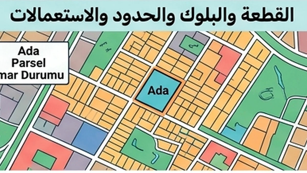
Official Source Revalidation — Cadastral boundary
A practical Official Source Revalidation workflow for Cadastral boundary, focused on evidence, timing, record reconciliation, exception closure and an auditable decision.
Verified facts relevant to this topic
Purpose of this guide
Official Source Revalidation — Cadastral boundary applies an operational verification workflow to Cadastral boundary. The specific objective is to re-prove the point from the official source or primary document at the decision moment instead of relying on an old or copied record. A fact should not be treated as operationally reliable merely because it exists; it must be tied to the correct property, party and date and supported by evidence that another reviewer can audit later.
When to use this review
- Before signing a contract or amendment that changes rights or obligations.
- Before sending money or changing a beneficiary or account.
- When a new version of a previously relied-on document arrives.
- When there is a record change or an approaching signature/payment.
- When the database and a primary document or official source disagree.
- Before final closing when the information can change over time.
Evidence file
- Retain the source or document actually used for the decision.
- Record retrieval/receipt date and reviewer identity.
- Link the version to the correct property, unit and counterparty.
- Preserve prior versions when a document changes.
- Record any difference between the database and primary evidence.
- Do not fill missing fields with undocumented estimates.
Consistency tests
- Does every item refer to the same property and unit?
- Are party identities and legal capacities consistent?
- Is the date suitable for the moment on which the decision relies?
- Are amounts, rights and restrictions consistent across records?
- Does a material fact appear in only one source without explanation?
- Has anything changed since the last review that could alter the decision?
Verified facts from official sources
Validity and change over time
Practical questions answered from primary sources
How can building footprint versus parcel change the true cost of cadastral boundary?
Parcel boundaries are not established by a listing image or phone map. Tie the ada/parsel to cadastral records, review the map and technical data, and obtain a formal boundary application (aplikasyon) when the physical boundary matters to the decision. Cadastral updating and technical corrections can change area or representation. Recheck the current registered/technical status instead of relying on an old sketch. For this exact point—“building footprint versus parcel” within cadastral boundary—use the cited source to establish the governing rule for the same property and current transaction.
Which fee, tax, delay or correction cost can arise in cadastral boundary, specifically building footprint versus parcel?
Cadastral updating and technical corrections can change area or representation. Recheck the current registered/technical status instead of relying on an old sketch. The goal is to show the visitor what the evidence proves, what it does not prove, and the next check required before signing or payment. For the document check on “building footprint versus parcel” within cadastral boundary, match the official identifiers, date, authority and scope to the closing file; a related document for another unit or older version is not enough.
Should the cost be priced before signing or after closing in cadastral boundary, specifically building footprint versus parcel?
The goal is to show the visitor what the evidence proves, what it does not prove, and the next check required before signing or payment. For the risk question on “building footprint versus parcel” within cadastral boundary, treat any unresolved mismatch as a live transaction issue until the competent record or authority shows the required status.
Sources checked: 16 August 2026.
- TKGM — Parsel Sorgu
- TKGM — Talebe Bağlı İşlemler / Aplikasyon FAQ
- TKGM — Teknik Hatalar Düzeltme Genelgesi 2022/7
Official revalidation of cadastral boundaries
Use current cadastral records and maps to establish boundaries; a fence or road on the ground is not final proof. Conflicting occupation, coordinates or mapping requires competent clarification or correction.