
Core point
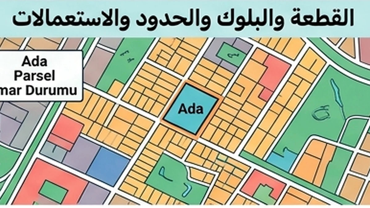
Reconcile ada/parsel, registered area, location and boundaries in TKGM records with the parcel being offered; a village name or listing number does not prove land identity.
How to verify it
Check the zoning plan, permitted land-use classification, legal/physical access, easements and building restrictions before valuing land as “buildable”.
Decision impact
TKGM Parcel Query is useful for initial spatial verification but does not replace a current title record or legal review of restrictions.
TKGM’s official Parcel Query provides spatial and attribute information for parcels. It is useful for a first land/location check, but it does not replace the formal title and restriction review.
Land due diligence combines boundaries, rights and permitted use
Block/parcel identifiers and area establish the parcel identity but do not by themselves answer whether it can be built on or how it is legally accessed. Compare cadastral boundaries with the physical situation, then keep title and registered restrictions separate from zoning and permitted-use information. A public parcel-query map is useful for preliminary orientation, but it is not a substitute for the land-register record or an official planning document.
Land due diligence begins with legal parcel identity
Reconcile current ada/parsel, registered area and land type with cadastral/Parsel Sorgu information, then review mortgages, attachments, easements and other rights before estimating development potential. Next examine the competent zoning plan, land-use designation, plan notes, roads and public-facility reservations that may affect only part of the parcel. Being “inside a development area” does not mean the entire registered area is buildable.
Check legal and physical road access, boundary shape, slope, utilities and signs of occupation by third parties. For development, have a qualified professional apply setbacks, floor-area/building ratios, height, geological constraints and infrastructure conditions to the proposed scheme. Do not convert a general zoning screenshot into a guaranteed unit count.
Trace any subdivision, consolidation or boundary history where the seller uses an old parcel number. Acquisition feasibility also depends on the buyer’s intended use, so agricultural, protected, coastal, forest-adjacent or other specially regulated contexts require the competent specialist/source rather than a generic residential-land checklist.
Before pricing the land as a development site, separate registered gross area from the area remaining after roads, public reservations, easement corridors and practical setbacks. The residual developable envelope may be materially smaller even though the title area has not changed.
Where boundaries are not evident on the ground, use a licensed/competent cadastral survey route rather than treating fences, trees or neighbours’ statements as legal markers. A boundary dispute can affect access, construction positioning and financing long before it changes the title area.
Evidence and decision plan for Land Parcel Due Diligence
When reviewing “Land Parcel Due Diligence”, the file should build a clear, evidence-based answer to the topic itself. This makes the article useful at the point of commitment because unresolved facts are separated from verified facts instead of being buried in narrative.
Evidence to assemble
- For “Land Parcel Due Diligence”, match the property and party identifiers in the evidence to the asset and people actually involved; a correct document for the wrong unit or person does not close the check.
- For “Land Parcel Due Diligence”, record issuer, source, issue or retrieval date and version where available, then distinguish an original/current record from a scan, translation, draft, expired copy or superseded version.
- For “Land Parcel Due Diligence”, compare documentary status with the physical, payment or operational reality relevant to the topic and write down every unexplained difference before commitment.
- For “Land Parcel Due Diligence”, convert each unresolved difference into a named condition: evidence required, person responsible, deadline and the consequence if the condition is not satisfied.
Official reference to recheck
The source register for “Land Parcel Due Diligence” includes TKGM — Parcel Query (https://parselsorgu.tkgm.gov.tr/). Use that source for the matters within its authority and recheck it when timing or rules are material; it does not replace a registry, engineering, tax, banking or contractual record that the specific decision separately requires.
Decision boundary
A defensible conclusion on “Land Parcel Due Diligence” records both what was verified and the limits of that verification. If a missing fact could change ownership, legality, safety, cost or payment security, it should block the related commitment until resolved.